9 raster chart layers are available in the GeoGarage platform, based on original nautical chart material from Imray (1844 charts including insets) :
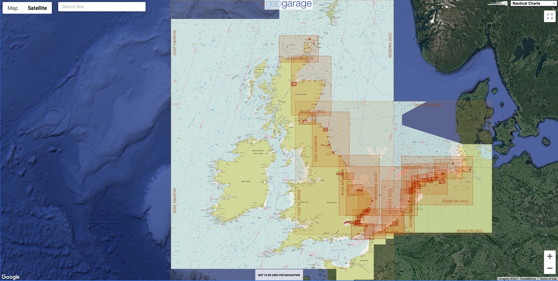
- ID10 North Sea
- ID20 English Channel
- ID30 West Britain & Ireland
- ID40 Atlantic France, Iberia & Atlantic Islands
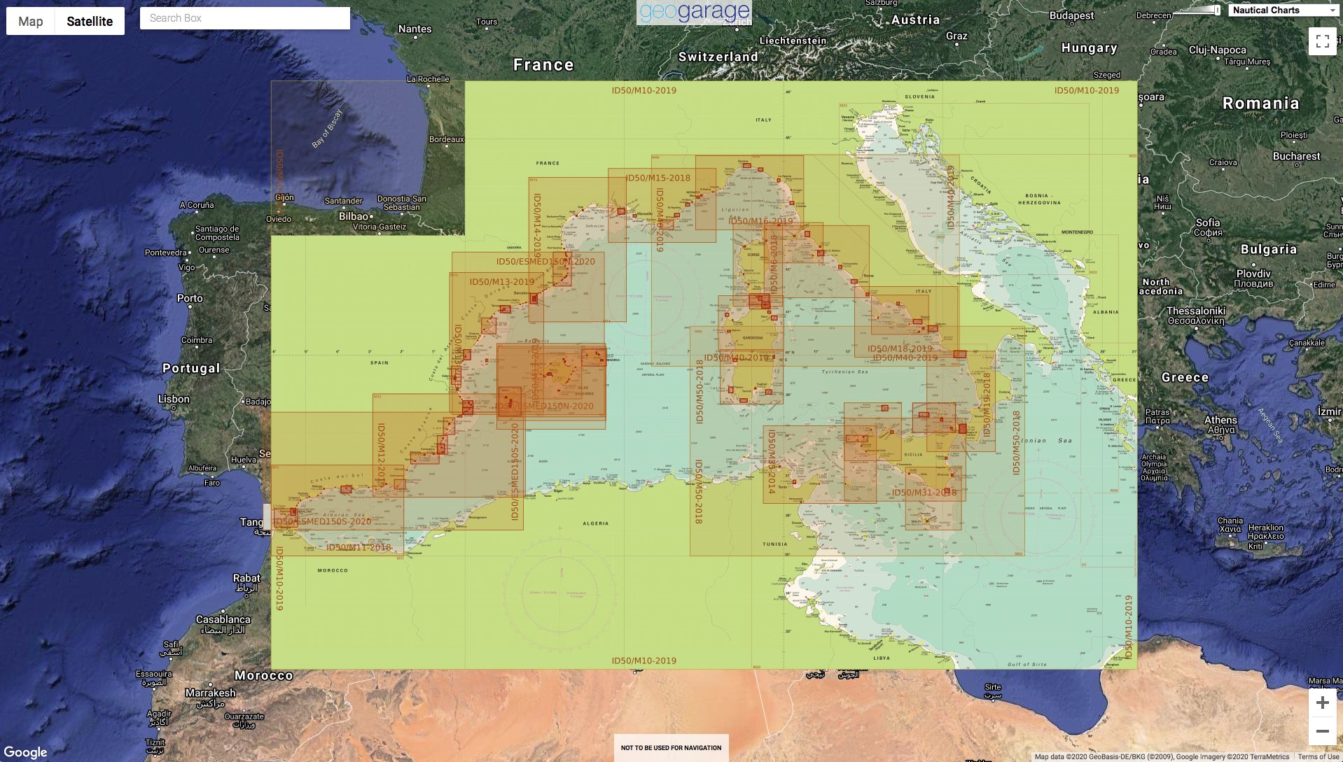
- ID50 Western Mediterranean
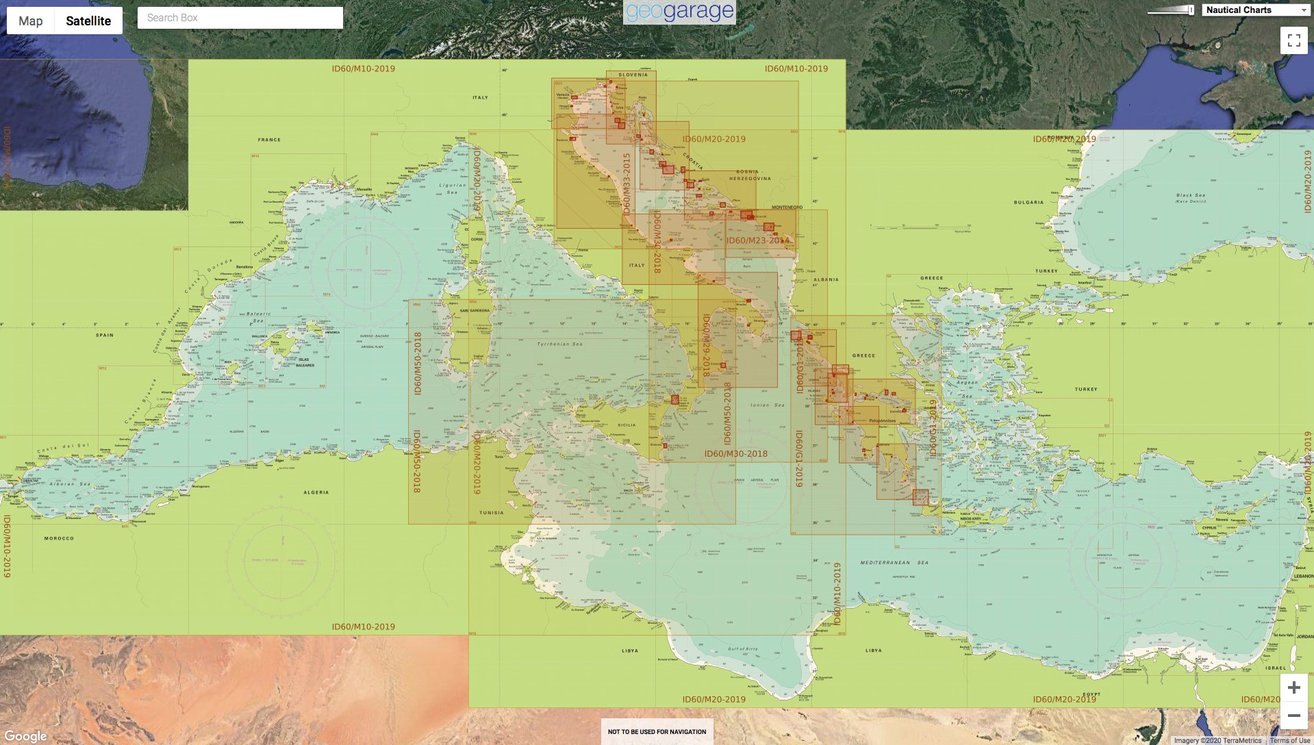
- ID60 Central Mediterranean
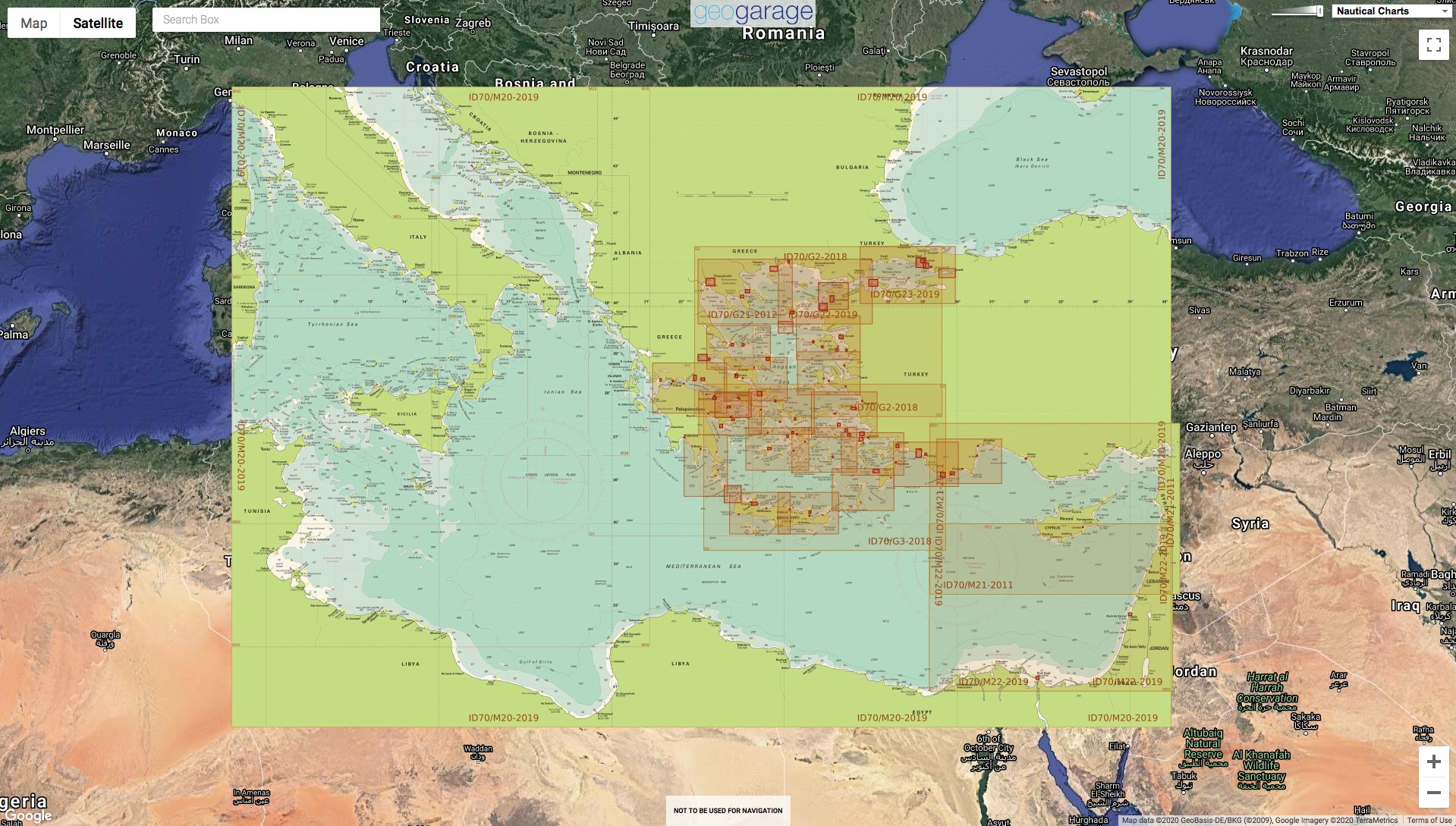
- ID70 Eastern Mediterranean
- ID80 The Netherlands
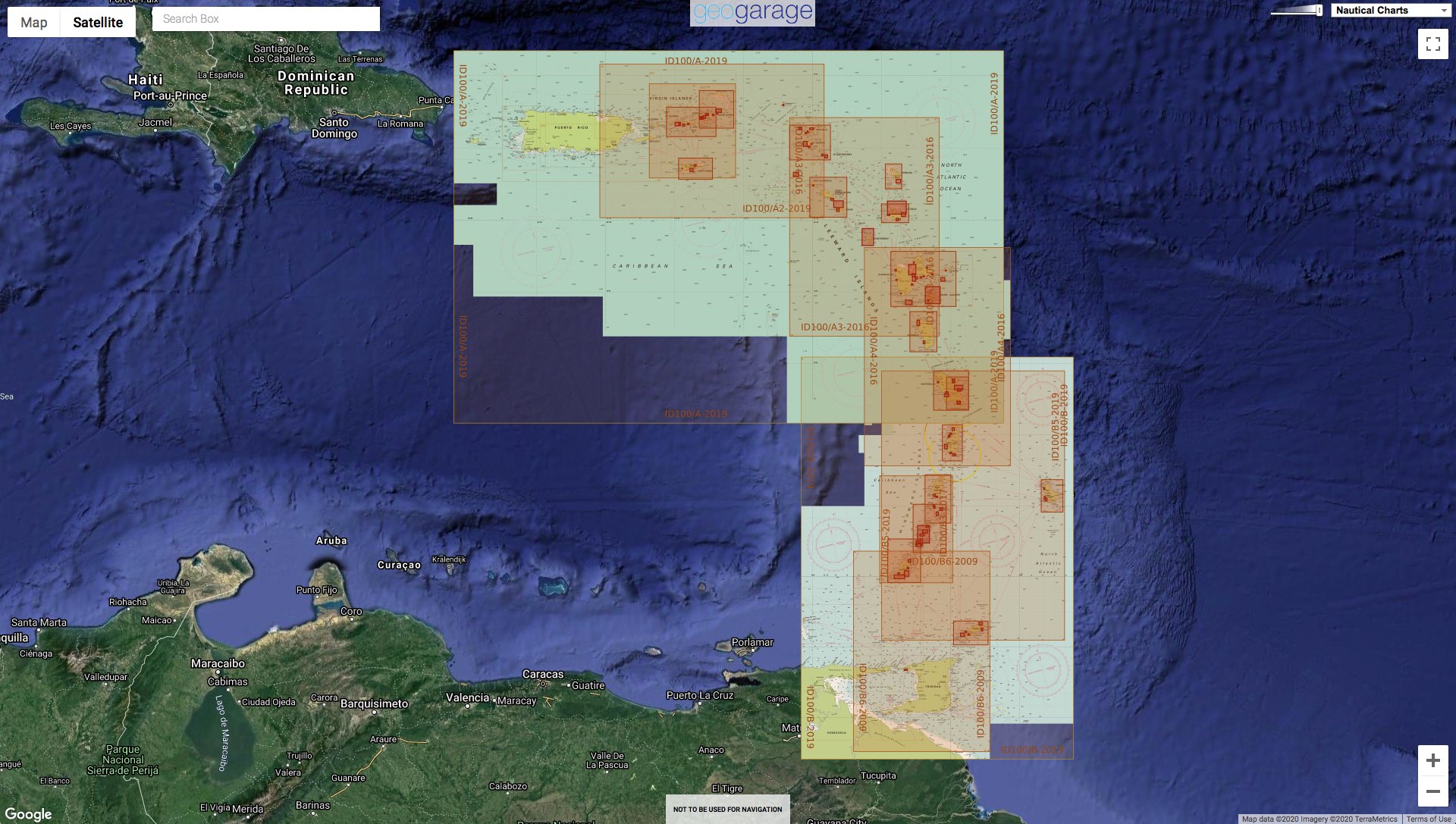
- D100 Eastern Caribbean
see GeoGarage layers viewer with geograpical areas for the different charts compsing the layers
|
updates May 2021 : 57 additional charts |
|
|
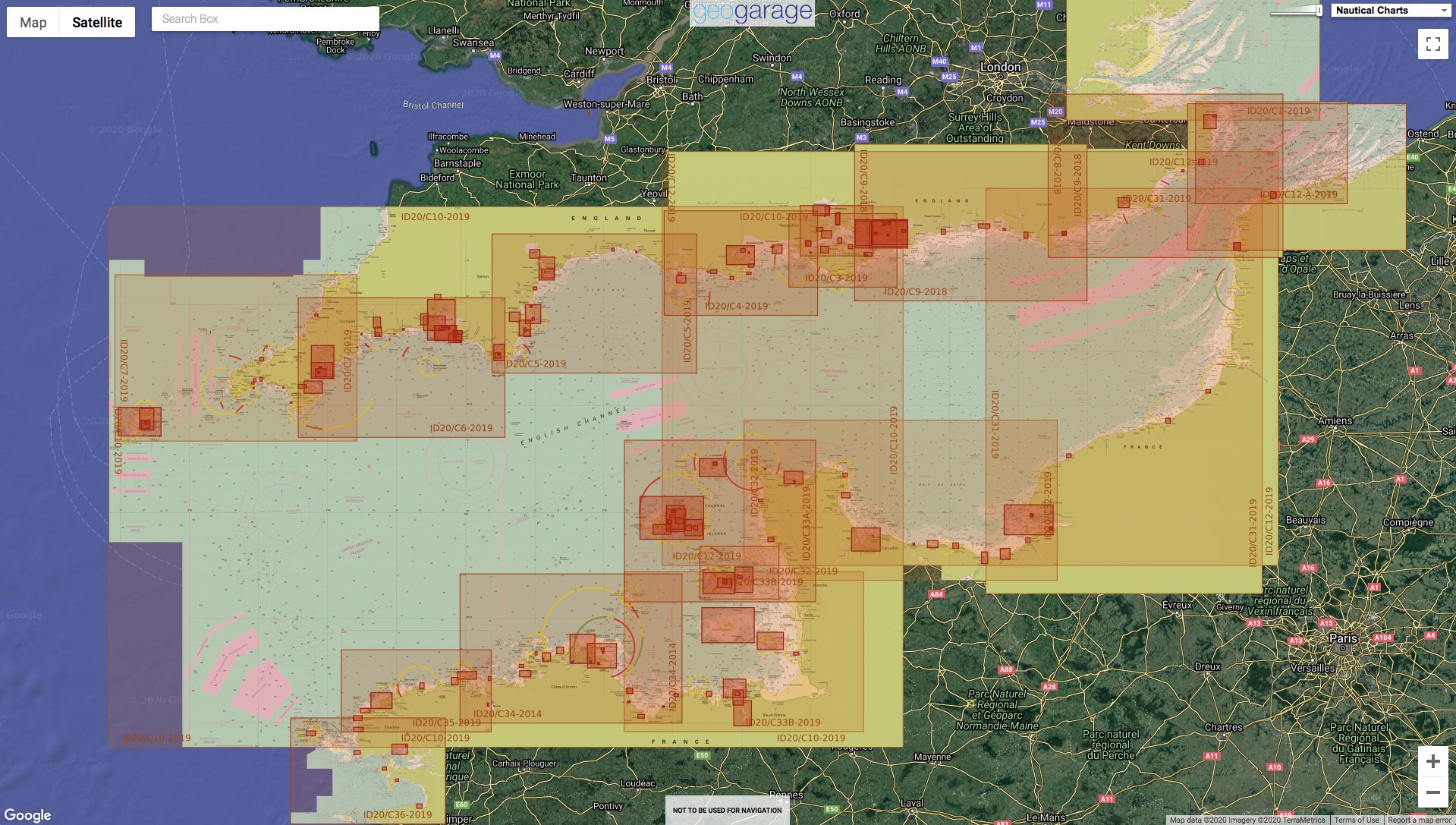
| updates May 2021 | : 4 additional charts | ||||
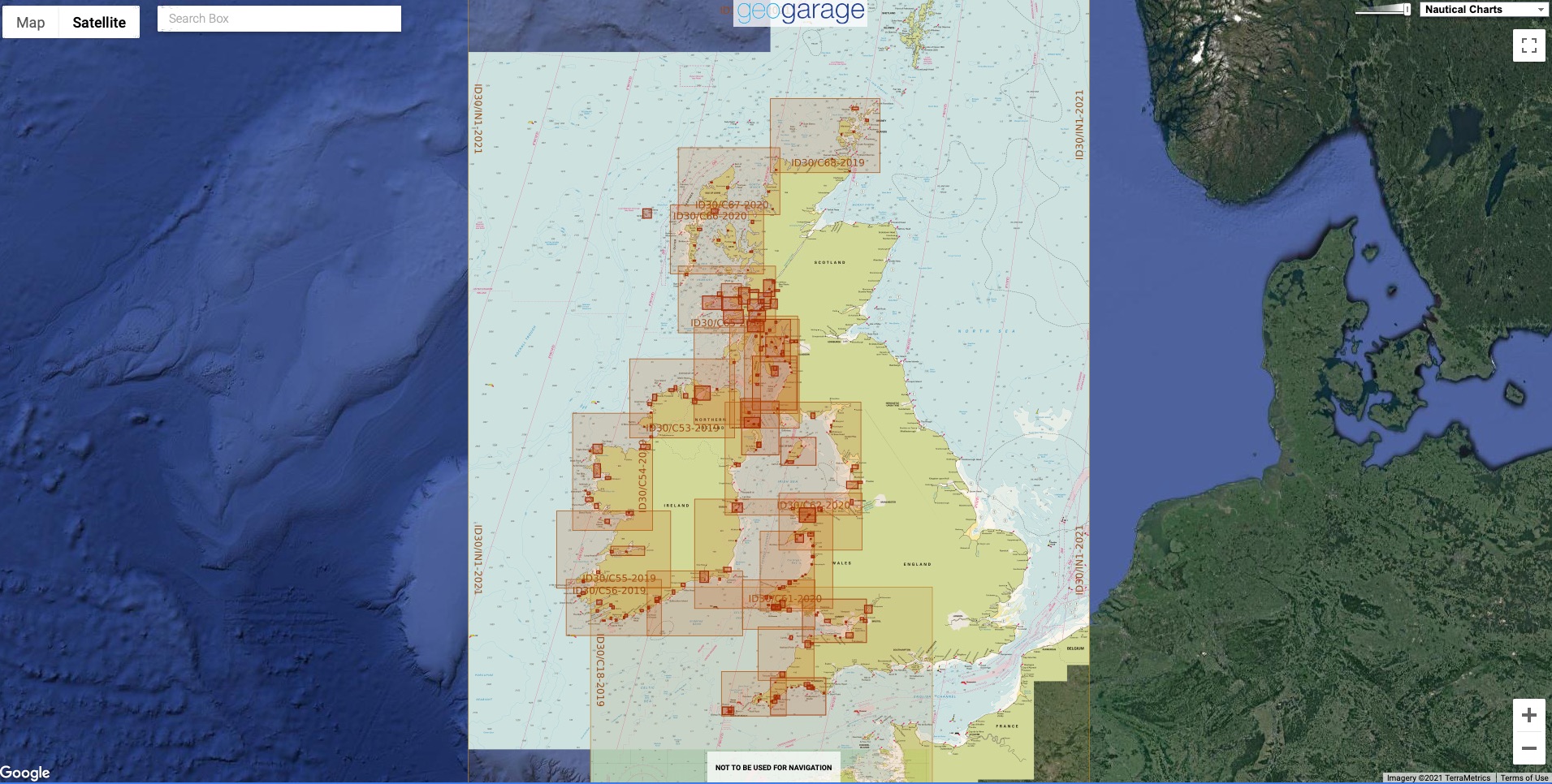
updates May 2021 : 14 additional charts
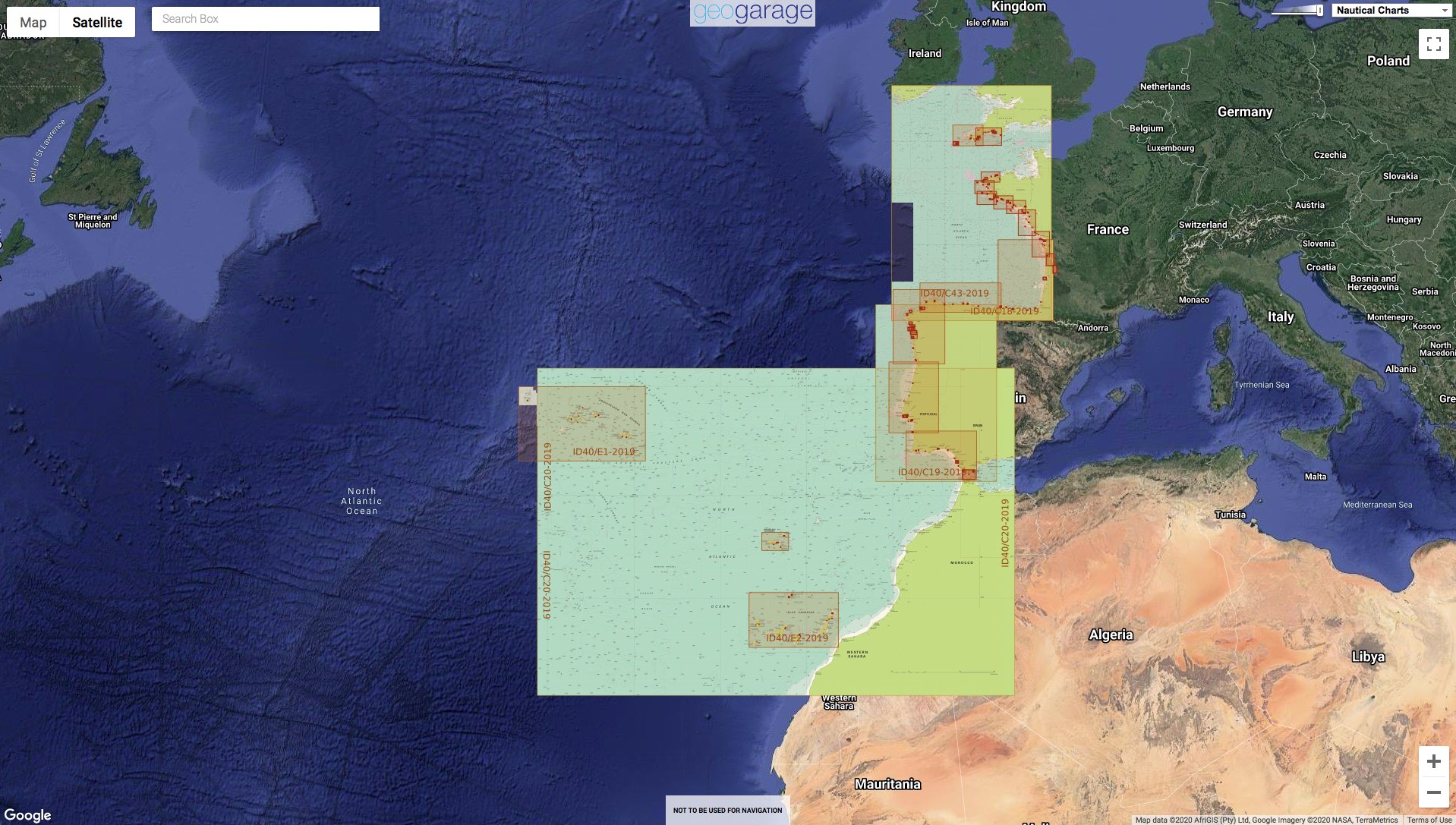
ID40 Atlantic France, Iberia & Atlantic Islands
updates May 2021 : 9 charts wirthdrawn
updates May 2021 : no additional charts
Updates May 2021 : no additional charts
Updates May 2021 : no additional charts
Updates May 2021 : no additional charts
These updates are right now automatically viewable on the following mobile applications :
- Weather 4D R&N iPhone-iPad iOS9+ on the Apple Store with subscriptions available on GeoGarage platform online payment website
- SailGrib Android on the Google Store with subscriptions available on GeoGarage platform online payment website